
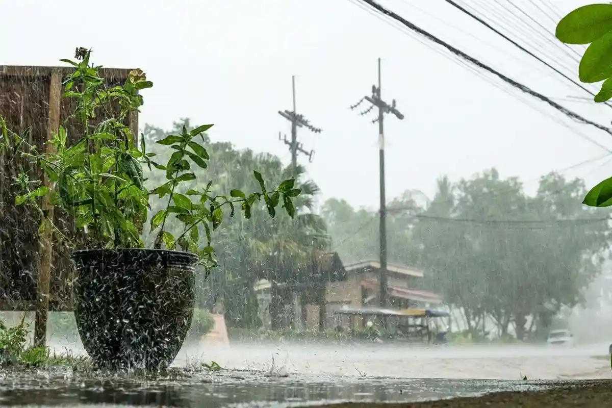
Extreme weather events are becoming more severe, more frequent, and more devastating due to climate change. From record-breaking wildfires in Australia to catastrophic hurricanes in Puerto Rico, the impacts are felt globally. These events not only disrupt ecosystems but also destroy critical infrastructure, displace communities, and threaten livelihoods. Understanding the science behind extreme weather helps us grasp why it occurs, the challenges it poses, and the urgency for solutions. This course sheds light on the real-world consequences of climate change and equips you with knowledge that can inspire action.
Throughout this course, you’ll gain insights into the connection between climate change and extreme weather patterns. You’ll explore specific examples, such as Hurricanes Maria and devastating wildfires, to understand how these events impact human lives and infrastructure. The course will highlight the role of global temperature changes, precipitation shifts, and environmental vulnerabilities in amplifying these phenomena. By examining visual data and real-life cases, you’ll come to understand the dynamics driving these changes and the importance of crafting resilient solutions.
To succeed in this course, pay close attention to the details and examples presented in the video. Focus on understanding how climate change drives extreme weather and the broader implications for populations and infrastructure. Be sure to take notes on the stories and data visualizations shared, as they will help you prepare for the short quiz that follows.
Click the button to take the quiz and get your credit.

Membership Email:
Verification Status: